
Carl Wark - Peak District Walk
Monday 4th February 2008
When I arrived at Upper Burbage Bridge I thought I had found the only part of the Peak District that didn't have blue sky and the drop in temperature compared to home was instantly noticeable. As I set out on the walk there were a few short showers but as the walk progressed the sun and blue sky finally appeared. As this was a relatively short walk I took the time to try out the different settings on my camera as I'm finding that with the wide-angle lens in many of the shots the sky is too bright. No doubt I'll get used to the lens soon.
Start: Upper Burbage Bridge (SK 2597 8297)
Route: Upper Burbage Bridge - Burbage Edge - Carl Wark - Higger Tor - Fiddler's Elbow - Upper Burbage Bridge
Distance: 3.25 miles Ascent: 207 metres Time Taken: 2 hours 30 mins
Terrain: Good paths, muddy in places. A short easy scramble onto Higger Tor.
Weather: Blue sky, light rain and a cold wind.
Pub Visited: None Ale Drunk: None

Looking along the valley I was going to be walking in from Upper Burbage Bridge.
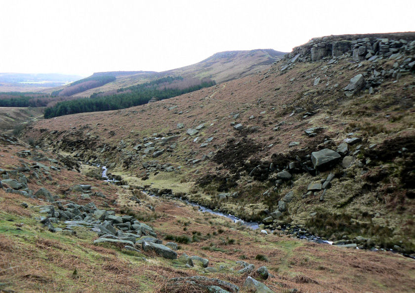
The return route would start from Carl Wark go across Higger Tor and then finally over Fiddler's Elbow.
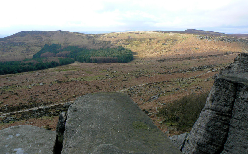
In between the showers the sun lights up the edge between Higger Tor and Fiddler's Elbow. Cowper Rock is the prominent edge in the background.
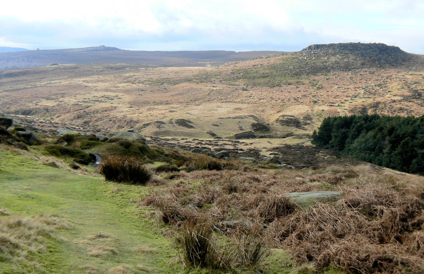
Dropping off Burbage Edge and heading towards Carl Wark, Over Owler Tor and Mother Cap on the horizon.
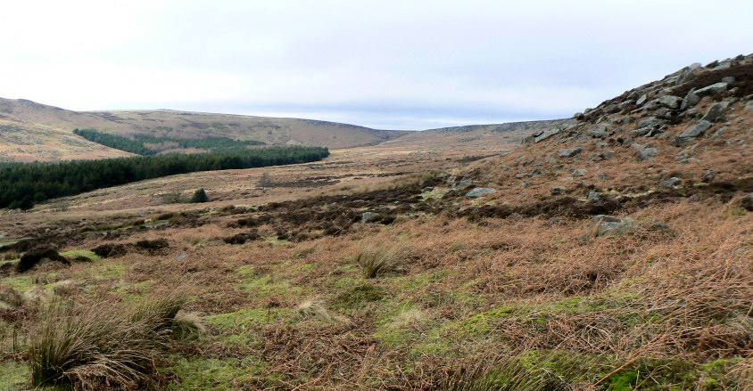
Looking back up towards Upper Burbage Bridge with Burbage Edge on the right.
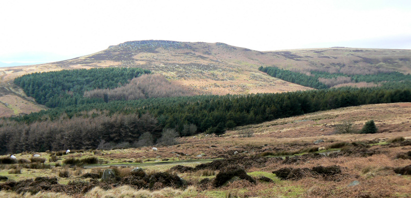
Higger Tor across the valley.
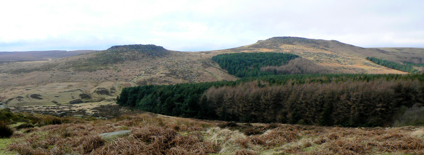
Carl Wark (L) and Higger Tor (R).
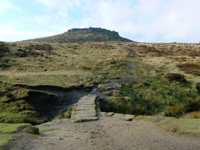
Carl Wark.

Burbage Brook.
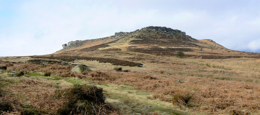
Higger Tor.
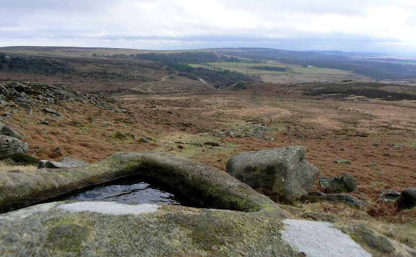
Looking towards Burbage Bridge from Carl Wark.
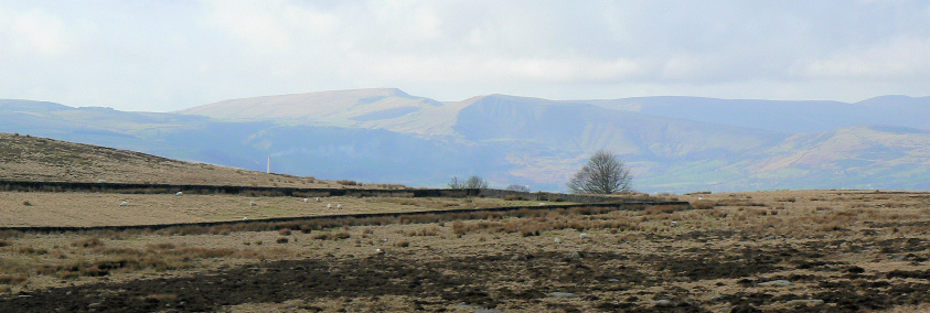
A hazy Mam Tor and Rushup Edge.
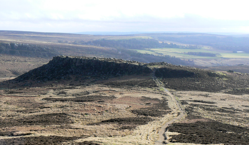
Carl Wark from Higger Tor.
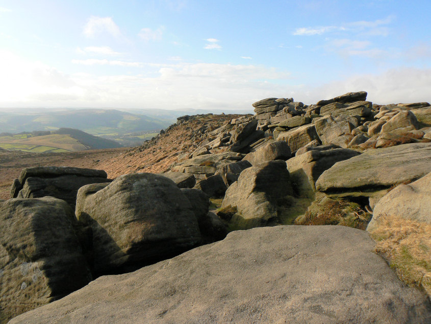
Looking towards Hathersage from Higger Tor.
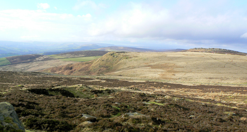
Looking across Callow Bank to Stanage Edge.
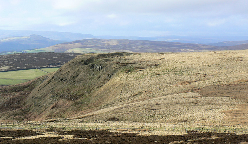
Callow Bank with Bamford Moor behind it and Win Hill in the distance.
All pictures copyright © Peak Walker 2006-2023